
Google Photos Tests Map View in Ask Photos Search Tool
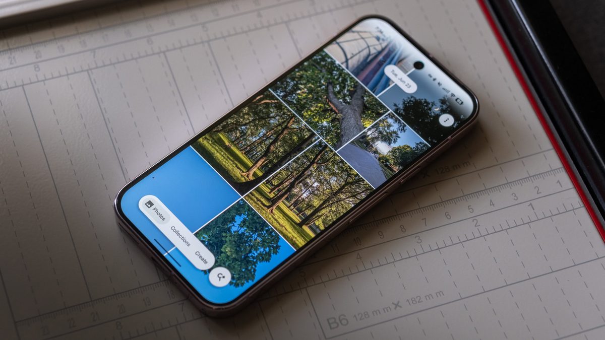
Photo: Android Authority
Quick answer
Google Photos is integrating a map view into its Ask Photos AI-powered search tool, enabling users to visualize search results by geolocation. This enhancement simplifies navigation through travel photos and trips.
Google Photos is preparing an update that will expand the capabilities of its Ask Photos tool. According to an analysis of the app's code (version 7.89), users will soon be able to view search results on an interactive map when photos contain geolocation metadata.
The new feature will visualize images as clusters on the map, with numbers indicating the number of photos at each location. Users can zoom in or tap on a cluster to explore photos from a specific place. A reset button in the top corner allows users to return to the default view.
Similar functionality already exists in Apple Photos for iPhone and in Google Photos' 'Collections' section. However, integrating the map directly into Ask Photos will make searching more intuitive. While the feature is still in testing, it may be released soon.
Ask Photos is an AI-powered tool that allows users to find photos and videos using natural language queries. In recent months, Google has been actively expanding its features to improve user convenience.
Common questions
- What changes will the new map feature bring to Google Photos?
- Ask Photos will display search results on a map when photos include geolocation metadata, making it easier to browse images by shooting locations.
- How will the map function work in Ask Photos?
- Photos will be grouped into clusters on the map, with numbers indicating the count of images at each location. Users can zoom in to view photos from specific spots.
- When can we expect the update?
- The feature is currently in beta testing within the app. While no official release date has been announced, it may arrive in upcoming updates.
Dzen feed: /feed/dzen.xml · RSS: /feed.xml