
How to Check for Flock Safety Surveillance Cameras in Your Area
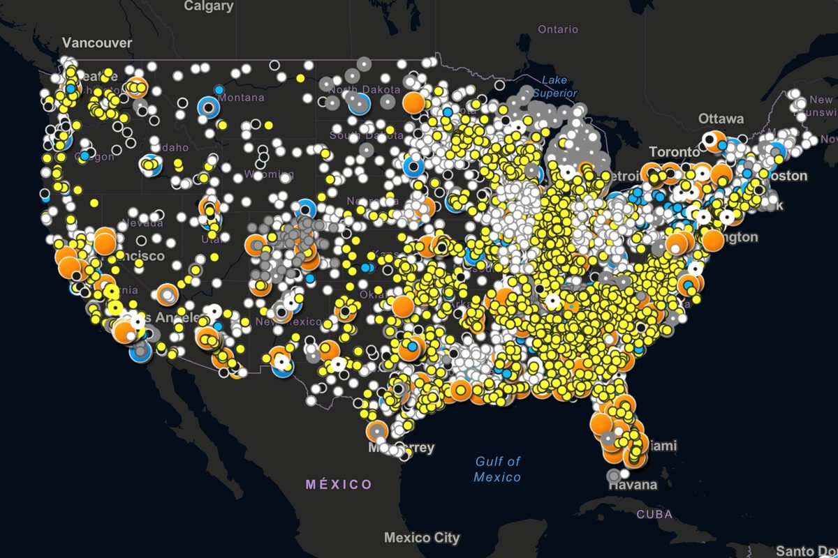
Photo: CNET
Quick answer
Atlas of Surveillance is the largest database tracking US police use of surveillance technologies, including Flock Safety cameras.
A new tool in the US allows tracking the spread of surveillance technologies used by law enforcement. The Atlas of Surveillance project contains the largest database of cameras and other monitoring systems deployed in cities nationwide.
The database specifically highlights solutions from Flock Safety. These cameras automatically recognize license plates, log suspicious activity, and transmit data to police. The system is actively being deployed across multiple states to improve law enforcement efficiency.
Atlas of Surveillance users can check if Flock Safety cameras are installed in their area by entering geographic coordinates or a location name. The tool also provides data on other surveillance technologies, including facial recognition systems and drones.
The project was created to enhance transparency in public safety. It enables researchers, journalists, and citizens to analyze the scale of surveillance technology use and its impact on privacy. The database is regularly updated with new data.
Common questions
- What is Flock Safety?
- Flock Safety is a company developing surveillance systems for law enforcement and municipalities. Its cameras automatically recognize license plates and log suspicious activity.
- How does Atlas of Surveillance work?
- It is an open database aggregating information on surveillance technologies used by US police. Users can search by location and equipment type.
- Why is tracking such technologies important?
- These tools help evaluate the balance between security and privacy while analyzing the transparency of government agencies' use of technology.
Dzen feed: /feed/dzen.xml · RSS: /feed.xml